i-Cetech GIM
Subsurface Intelligence • Well Monitoring • Risk
Geotechnical Intelligence Modelling (GIM)
A unified subsurface intelligence platform that integrates geotechnical, geological, geophysical, production, and operational data in one environment-so teams can monitor wells, detect risks early, and make decisions they can defend.
Subsurface view
Spatial intelligence
AI-driven monitoring
What GIM Enables
From interpretation to operations-kept traceable, auditable, and actionable.
Unified Subsurface Workspace
Combine well logs, seismic, geological models, and GIS layers with automated quality checks and consistent schemas.
Well Monitoring with Context
Link operational signals to wells, faults, horizons, and zones to understand why anomalies occur-not just that they occur.
Risk & Decision Governance
Track lineage and relationships so analyses and decisions are reproducible, reviewable, and export-ready.
Core Capabilities
Practical tools for geotechnical teams-built for monitoring, analysis, and traceability.
Unified Data Integration
Integrate well logs, seismic data, geological models and GIS layers into a standardized environment with automated QC.
Single source of truth
Advanced Spatial Intelligence
High-performance spatial queries and GIS analysis using PostGIS-built for proximity, constraints, and zonation workflows.
PostGIS-powered
Interactive Modelling
Visualize wells, faults, horizons, and seismic volumes in an interactive view for interpretation and review.
Subsurface
AI & Machine Learning Engine
Predict properties, detect anomalies, and enhance interpretation accuracy with built-in machine learning models.
Predict & interpret
Risk Assessment & Monitoring
Continuously analyze fault proximity, pressure behavior, and production trends to identify high-risk assets early.
Early warning
Lineage & Entity Relationships
Track data lineage, versioning, and entity relationships to support governance, audits, and repeatable reporting.
Traceable decisions
How GIM Works
From subsurface inputs to monitoring outputs-built for teams that need evidence, not black boxes.
📥
Inputs
Well logs, seismic volumes, geological/horizon models, GIS layers, production and operational feeds.
🧠
Intelligence
Spatial queries (PostGIS), visualization, lineage graphing, ML prediction, and anomaly logic.
📤
Outputs
Risk dashboards, well/fault proximity summaries, anomaly alerts, decision records, and export-ready reports.
GIM dashboard overview
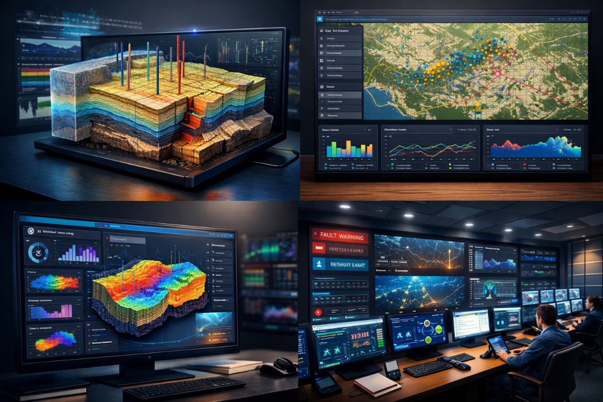
Typical signals monitored
- Fault proximity and hazard zones
- Pressure anomalies and deviations
- Production trends and unexpected drops
- Data quality and missing feeds
- System health and analytics performance
Outcomes
Faster decisions, reduced risk, improved collaboration, and full governance.
Operational Impact
- Faster, data-driven decision-making with clear context
- Reduced operational & geotechnical risk through early detection
- Improved asset performance and safety via prioritized actions
- Continuous monitoring across wells and zones
Governance & Collaboration
- Full data traceability, lineage, and decision records
- Cross-team collaboration using shared 3D + GIS context
- Export-ready documentation and stakeholder packs
- Audit-friendly workflows for regulated environments